You need to enable JavaScript to use the communication tool powered by OpenWidget Art Department - dynamic mapping

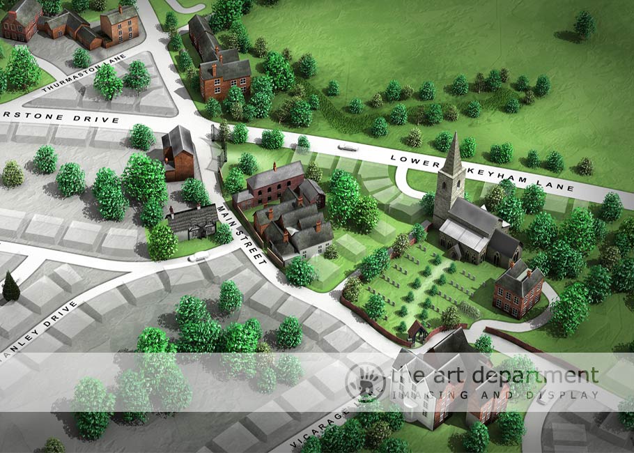
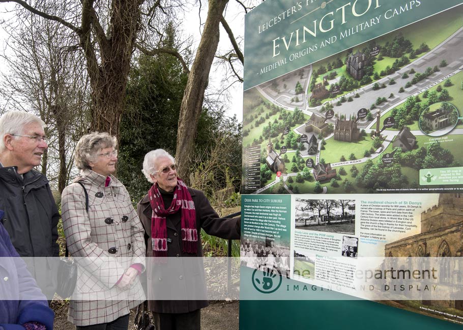
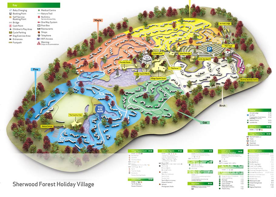
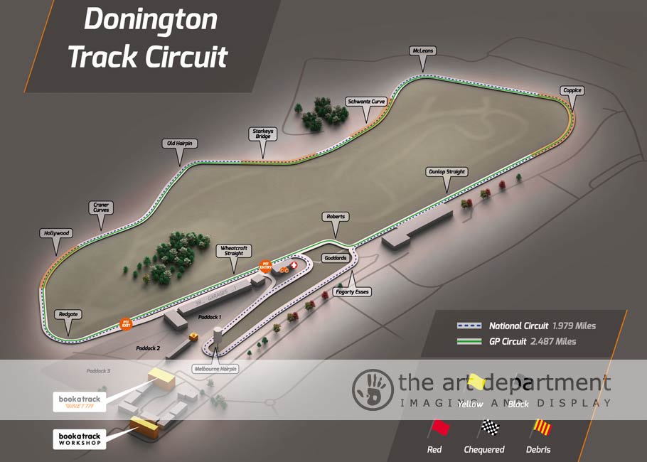
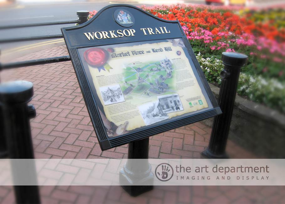
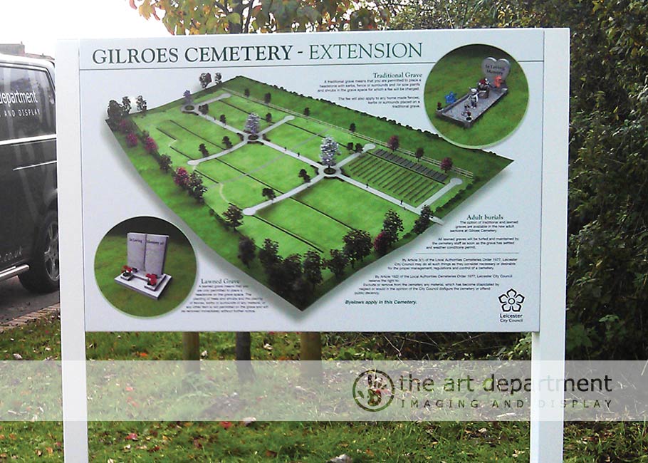
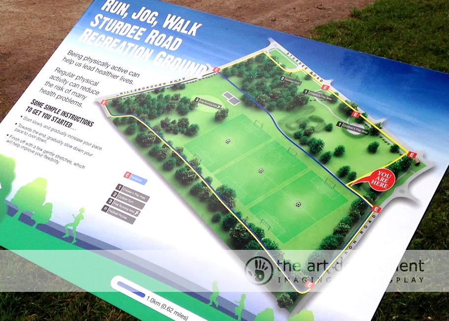
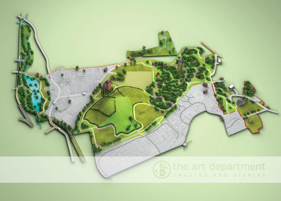
Eagle-i, our revolutionary 3D mapping service developed in house using the latest in 3D technology and Topography. Eagle-i is aimed at improving the visitors experience at a number of attractions including historic, sports stadia, country parks, city walks, amusements and other facilities which require directional and wayfinding information. By incorporating Eagle-i; buildings, surrounding facilities, and landscapes can be portrayed in an attractive yet easy to understand format. Information is accurate, effortless and is shown not only in 3D but also from the visitor’s perspective. With 360˚ of possibilities, Eagle-i provides a major step forward in directional signage. For more information on Dynamic 3D Mapping please contact us.

Click on a section to see more

Parks & Open Spaces

Image
Victoria Park
Image
Beaumont Park
Image
Rufford Country Park

Reconstructions

Image
Castle Hill Earthworks
Image
World War One Trench
Image
Piggy Hollow

Towns & Villages

Image
Edwinstowe Village
Image
Belgrave Village
Image
Leicester City

Click to enlarge image

waste site 3d map
close up 3d map
close up 3d map 2
evington 3d map
belgrave 3d map
center parcs 3d map
bosworth 3d map
beamont park 3d map
braunstone park 3d map
evington park 3d map
edwinstowe 3d map
donington 3d map
donington 3d map 2
parks 3d map
water sports 3d map
worksop 3d map
gilroes 3d map
run jog 3d map
3d map
beeston centre
Join now!

Press below to join our fantastic mailing list to receive great offers on products and services

Pentagon HouseLondon RoadNottinghamNottinghamshireNG2 3AX
0115 986 53 86
(All calls are recorded)